WM-Form Land Forming Solution

Whether you’re a grower or an earthworks contractor, the Trimble® WM-Form™ land forming solution can help you fix underproducing acres – while also controlling the cost of the earthworks and minimizing disturbance to valuable topsoil.

Features

  • Level fields with single or multiple planes using a best-fit or custom plane, or with multiple hinges
  • Drain water in any direction or to a linear feature such as a ditch or existing drainage system
  • Create multi-direction variable slope designs to optimize the surface for furrow irrigation
  • Create section lines and design each section individually
  • Generate multiple design variations for the field, then compare them in 3D view against the original topography
  • Produce 2D cut/fill estimates and reports
Brochure

Optimize Your Acreage

You’ll get problem areas producing in no time, while you:

  • Open up more acres to be farmed
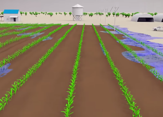
  • Enable optimal water distribution and drainage
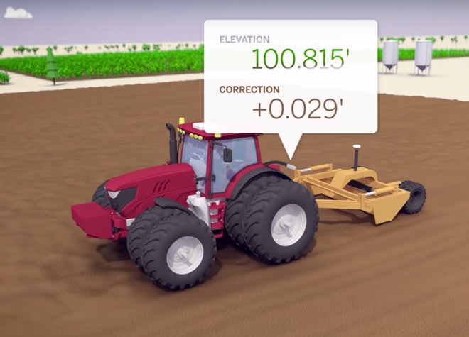
  • Minimize disturbance to valuable topsoil
  • Reduce erosion and minimize flooding by effectively channeling water
  • Create more uniform production and increase yield

WM-Form allows you to design variable-shaped fields and topography based on the best use of existing contours, the water needs of individual crops, and even individual farming practices.

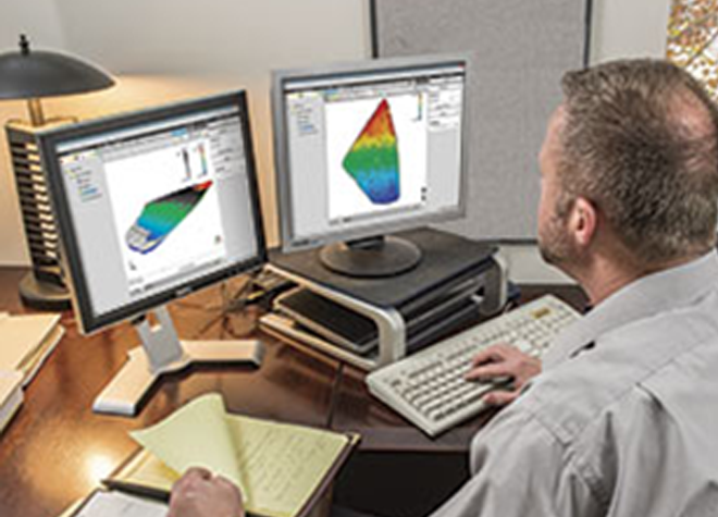
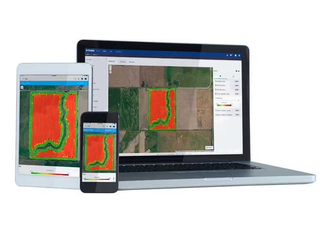
As a complete end-to-end workflow, WM-Form allows you to perform field survey, analyze topography, create an optimized design, export earthworks reports and control files, and conduct land forming operations on the machine. The WM-Form software can also be used to generate earthworks volume estimates and produce detailed project bids for contractors.

Survey

  • Collect 3D field data with ease using the Trimble WM-Topo™ survey system, FmX® Integrated Display or TMX-2050™ display

Analyze

  • Analyze topographic data in the WM-Form software for surface problems that limit yield

Estimate

  • Use the new design to estimate earthworks volumes and generate a project bid

Level and Form

  • Grade the new field using the field design as a machine control model with the Trimble FieldLevel II system

Verify and Manage

  • Map the true contours of your new field with Trimble WM-Topo for future maintenance or drainage management projects

Related Products

Let’s Get Started

Embrace the power of proven precision agriculture technologies from Trimble to enhance your planting and seeding operations, while increasing your productivity and profitability by saving on wasted inputs.

Where to Buy