View map types on the mobile app
Switch between standard, satellite or hybrid view when referring to field boundaries on Trimble Ag Mobile. Use these map features on any field on the mobile app, starting from the home screen’s Field tile or Farm tile.
- Log in to the mobile app with the same Trimble ID used to access your online account (learn more)
- From the mobile app’s home screen, select the preferred crop year (top left)
- Tap the Fields tile
- Tap the full-screen
 icon to expand the map view
 - Tap the compass
 icon to show your current location (only use if you’re close to the field boundary)
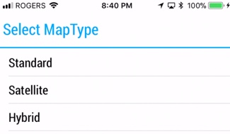
 - Tap the map type
 icon to Select Map Type
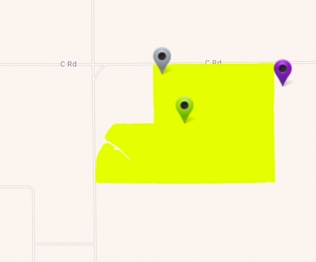
- Standard – view map background in white as a road map
- Satellite (default) – view map background in colour as aerial photography
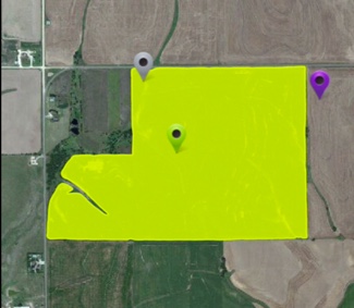
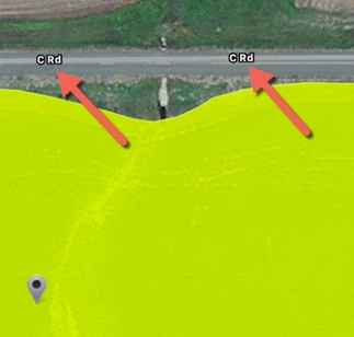
- Hybrid – view a combination of standard and satellite maps to see street names over colour aerial photography (pinch screen to zoom in)
- Standard – view map background in white as a road map
