Online Updates
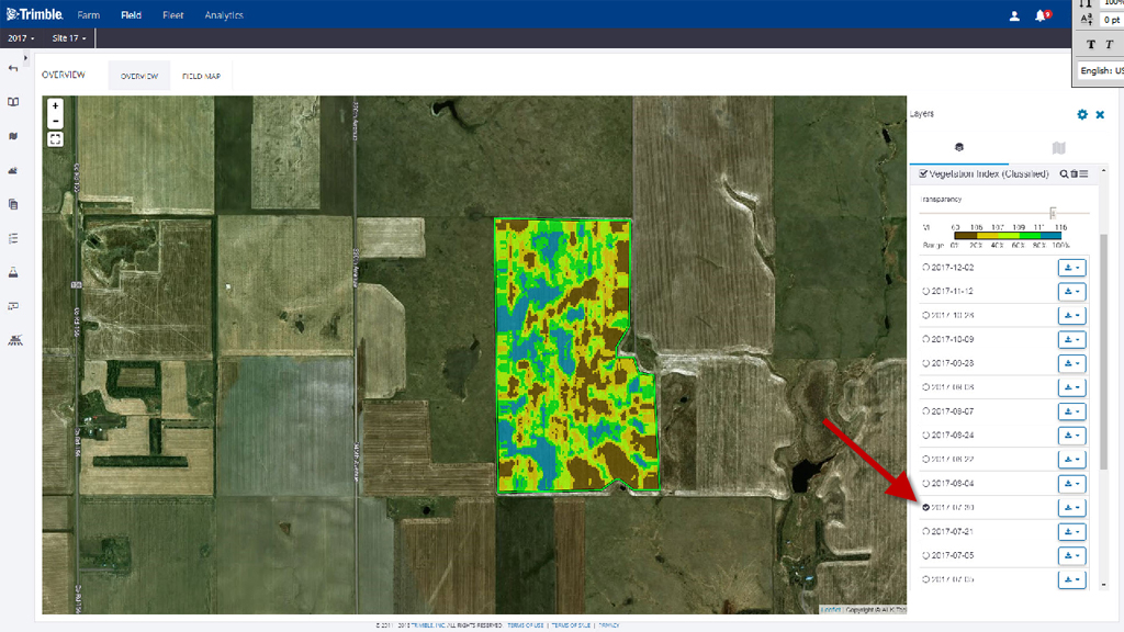
- Crop Health Imagery — Access satellite imagery of your fields powered by PurePixel™ technology, a proprietary algorithm to analyze multiple sensor inputs to produce calibrated vegetative index maps throughout the growing season. Available imagery includes vegetative index-calibrated, vegetative index-classified, natural color and infrared color.

By selecting the Field Map tab, available crop health imagery will appear using the far right navigation panel. As a reminder, this feature only works if the module is activated from the online Marketplace store. Viewing 2017 and prior crop years is not possible; however, the current crop year will be saved and accessible in the future.
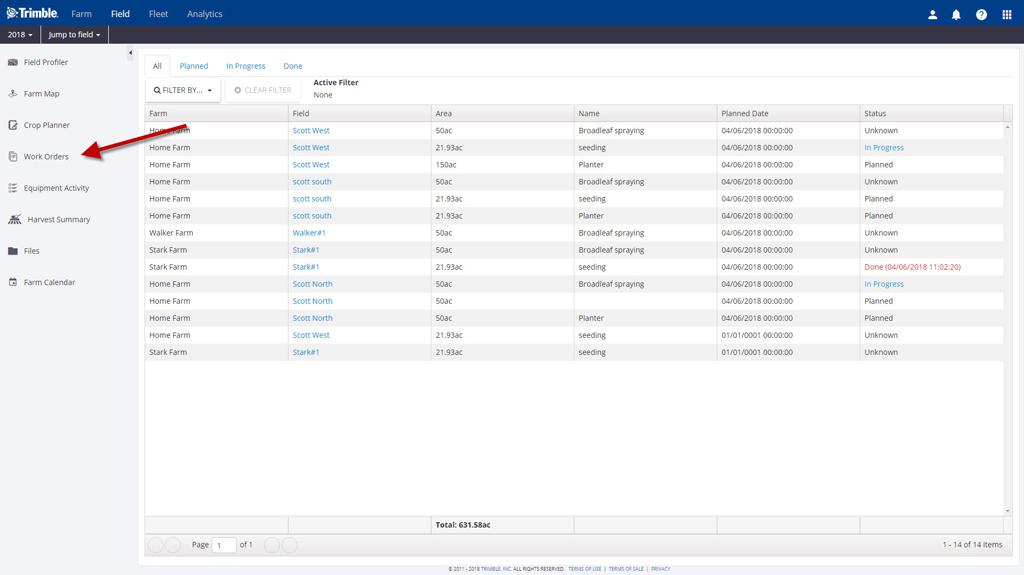
- View Work Orders — Monitor your workers by tracking the progress and completion of each task. Work Orders are created from the Trimble Ag Mobile app and are available for viewing on the online platform.

- New Files Status Button — Added an “Update” button to the Files screen so you can get an updated status of files that have been uploaded. This makes it easier to determine when a file has been processed.
- ArcView Shape File Import — The File Upload screen can now be used to upload ArcView Shape files. Importing the data will create tasks that include maps.
Crop Health Imagery and Work Orders are included with Farmer Pro or Farmer Pro Plus licenses and available worldwide. Click here for help activating these features within the Marketplace store.
